![]()
Maps and aerial photographs
of Grenville and of some villages
![]()
Click an image to obtain a plan in big size - PDF
![]()
![]()
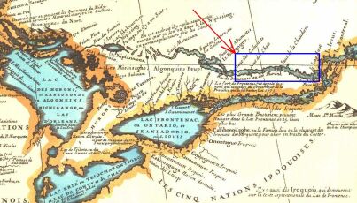
Grenville's region, in 1688
![]()
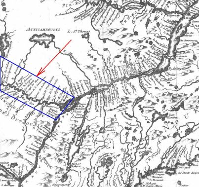
Grenville's region, in 1744
![]()
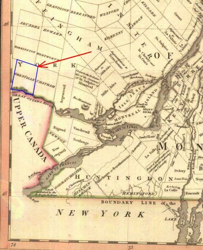
Grenville's territory, in 1813
![]()
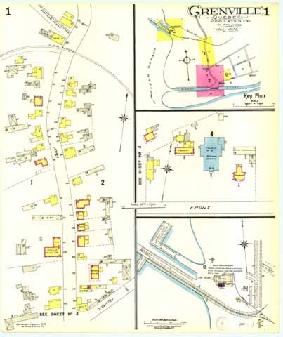
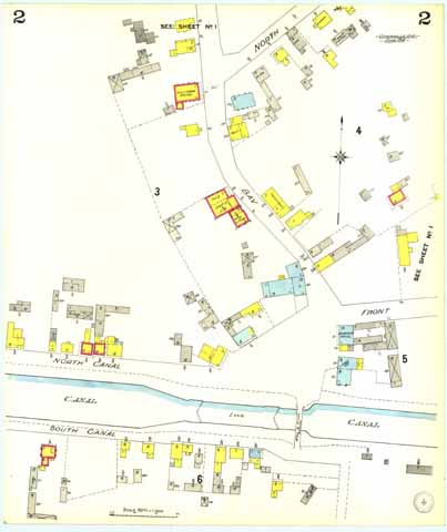
Grenville's village - Map number 1 - In 1914
![]()
Grenville's village - Map number 2 - In 1914
![]()
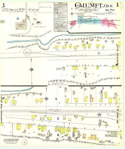
Calumet's village - Map number 1 - In 1914
![]()
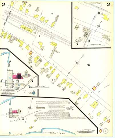
Calumet's village - Map number 2 - In 1914
![]()
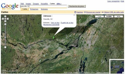
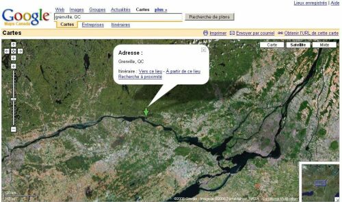
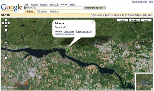
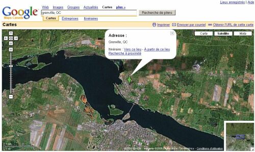
Aerial photographs of the region and the villages
![]()
![]()
© Alain Chebroux, Baron of Grenville : www.baron-grenville.com
© Baron Alain Chebroux of Grenville. The Barony :
www.grenville.info